
Sunrise Mountain Geocaches

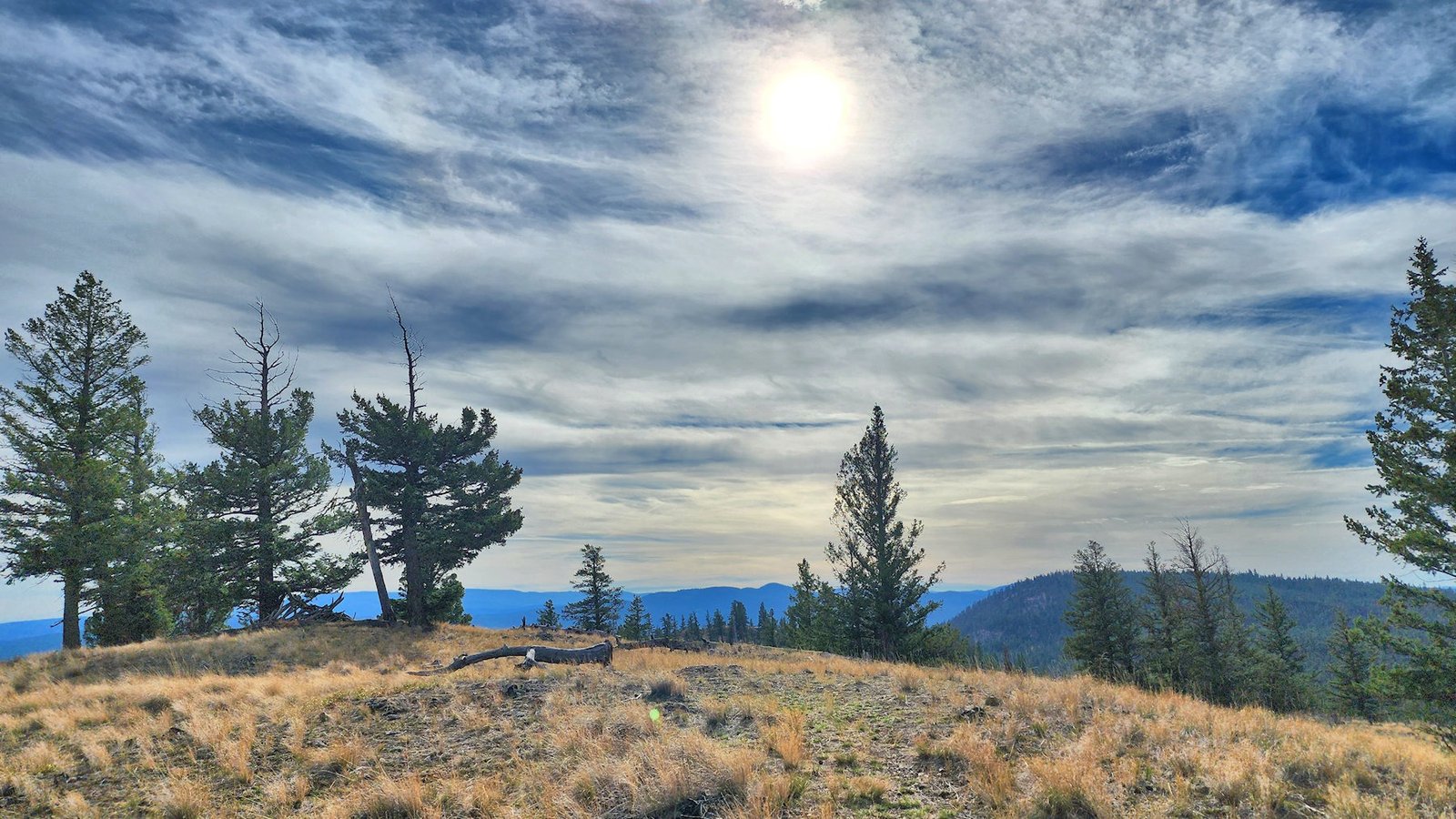
I have hiked Sunrise Mountain a number of times and on some of the outings also did Sunset Mountain and/or GMS Hill. Many years ago I had GCs on top of the mountain (called Middle Mountain in Roland Neave’s Hiking the High Points), and also placed on on top of GMS Hill. It is the prominent open ridge south of Sunrise. These were archived. A local geocacher (H.erectus&Lucy) resurrected both caches adding the term “Revisited.” In both cases the old container was kept and the same location.
I climbed up Sunrise adding some finds along the way (thanks to the owners), the found Middle Mountain Revisited. The old lock n’ lock was broken and the ziploc torn so I replaced the container with one I had brought with me. I logged the cache, then started the route down and back up to GMS Hill. A game trail follows the ridge going southwest down to the gully. Any straight line takes us down a broken rock slope (not recommended). In the gully is an old double track. Taking a turn to the northeast, it goes up to a pass between the two hills and forks. The right fork leads to a single track to the top of GMS Hill. The left fork goes out to a viewpoint overlooking Barnhartvale. After logging GMS Hill Revisited, I went down to the lookout knoll and placed a new geocache there called Betwixt. This one will likely be seldom found since it is a hard spot to get to.
Both GMS Hill and the Betwixt hill can be reached from the end of Pratt Road on old tracks. The route requires a fair amount of navigation. I hope to get back up there to place a new geocache on Sunset Mountain. I will probably hike a route I know from Uplands Drive to a point south of the cache Falling Short. Another remote backcountry spot…
On to the next adventure in the meantime…
Comments
Sunrise Mountain Geocaches — No Comments
HTML tags allowed in your comment: <a href="" title=""> <abbr title=""> <acronym title=""> <b> <blockquote cite=""> <cite> <code> <del datetime=""> <em> <i> <q cite=""> <s> <strike> <strong>